Au sommet Washington
Au sommet Washington
Rail pour le mont Washington
Train pour le mont Washington
Lake of the Clouds
Lake of the Clouds
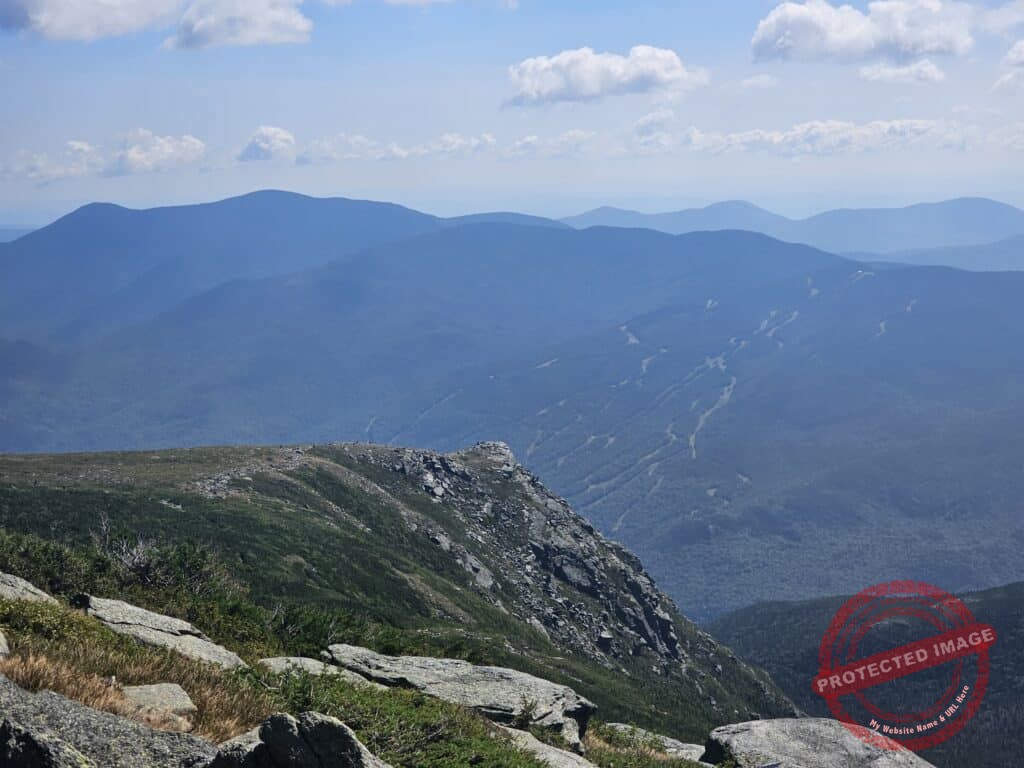
Mont Washington
Mont Washington
Vue magnifique à partir du Lion's Head
Vue magnifique à partir du Lion's Head
Sommet du mont Lion's Head
Superbe chute Crystal à seulement 600m du départ
L'un des ponts traversant le cours d'eau et ses jolies cascades
Près de la cabine de premier soin, eau potable
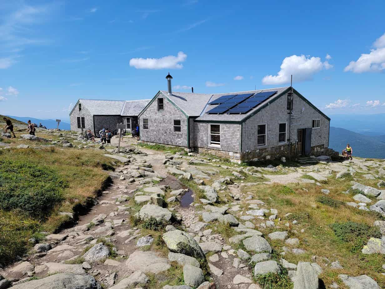
Camp de repos et premiers soins
Petit étang avec le Tuckerman Ravine en arrière-plan
Tuckerman Ravine et plusieurs petites chutes sur les parois rocheuses
Vue plongeante sur le Tuckerman Ravine
Début de la section rocheuse avant le sommet
Roches à perte de vue juste avant le sommet du mont Washington
Retour en direction du Lion's Head
Plusieurs vues panoramiques lors de la descente par le sentier Lion's Head
Départ des sentiers
Panneau informationnel
Stationnement Pickham Notch